ISRO to launch satellites for crop delineation
By Anurag Mallick
Hyderabad: The Indian Space Research Organization (ISRO) will launch satellites that will help address problems like crop delineation, deforestation and the amount of land that has degraded.
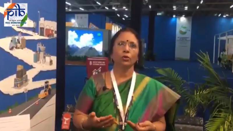
Speaking at UNCCD COP14 ongoing in New Delhi, ISRO scientist Dr N. Aparna said, “Actually Isro is into the launch of satellites according to its applications. It gives you complete solution, right from the launch, data acquisition, data processing and people. Finally our responsibility is to acquire the data process and give it to the users in such a way that they use it for the application, from agriculture to water to snow to any kind of applications.”
India being an agrarian country basic application comes from agriculture. All our resource monitoring satellites help us in agriculture like crop estimation, crop yield, crop production and other crop related activities. Similarly, these satellites also help in knowing the topmost layer of the earth. It doesn't allow you to penetrate the ground, but you can find water bodies, you can find forest areas, you can find out about delineation, and know how much area has undergone deforestation. ISRO will be launching satellites which have several bands. These specific bands will be used for crop delineation, estimating area of deforestation, forest type and other areas.
We will also know how much land has been degraded due to jhum cultivation or due to other types of cultivation. How much soil and land has been degraded in India and what kind of measures can be taken to rejuvenate these lands for the further use of the next generation, she added.