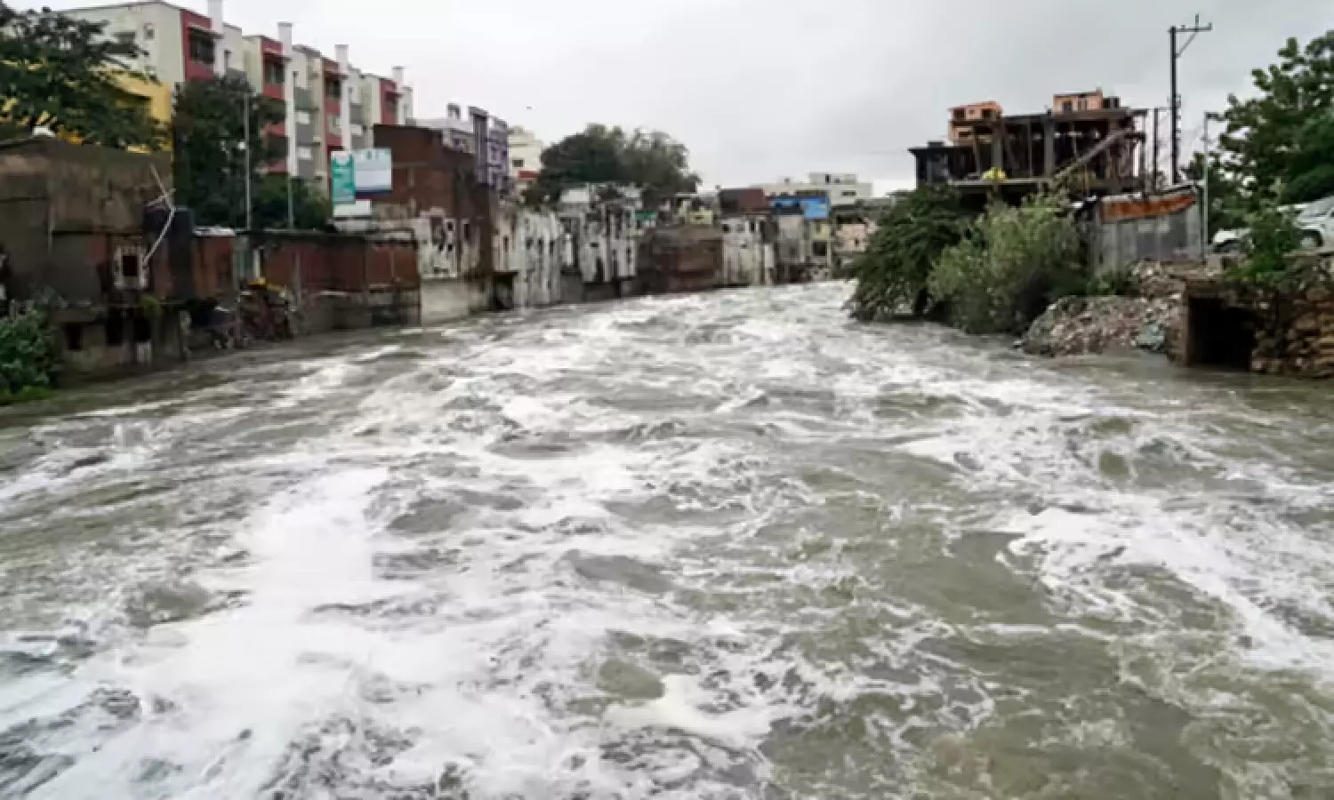
Hyderabad: GHMC to bring all stormwater drains under GIS mapping to tackle urban flooding
The GIS-based mapping is expected to play a key role in the development of a Stormwater Drainage Master Plan.
By Newsmeter Network
Hyderabad: GHMC to bring all stormwater drains under GIS mapping to tackle urban flooding
Hyderabad: Greater Hyderabad Municipal Corporation (GHMC) has decided to bring all stormwater drains under Geographic Information System (GIS) mapping as part of its efforts to tackle urban flooding.
The move is expected to strengthen the city’s drainage infrastructure and provide long-term solutions to inundation issues during heavy rains.
Drone-based survey for accuracy
Officials said the mapping exercise would rely on base maps prepared through drone surveys. This will help capture accurate details of stormwater drains, culverts, and catchpits, including their exact locations, measurements, and interconnections. All these will be integrated with geospatial coordinates to create a comprehensive digital record.
Master plan development
The GIS-based mapping is expected to play a key role in the development of a Stormwater Drainage Master Plan. The survey will help analyze flow patterns, assess flood risks, evaluate rainfall impact, and strengthen infrastructure planning. It will also enhance the city’s emergency response capabilities, officials noted.
Smart city integration
According to GHMC, the project will support smart water management systems by enabling real-time monitoring and quicker responses. The visual maps generated will also be shared with the public to create awareness about drain management. Citizens will be encouraged to participate by reporting issues and contributing to upkeep efforts.
Citizen participation encouraged
GHMC emphasized that community involvement is crucial. By sharing maps with residents, the civic body aims to promote transparency, improve public understanding of drainage systems, and build a collaborative approach towards resolving urban flooding problems.