Hyderabad: How 1,800 sq yd land allocated for park was illegally converted into private plots at Chinna Kranthi Colony
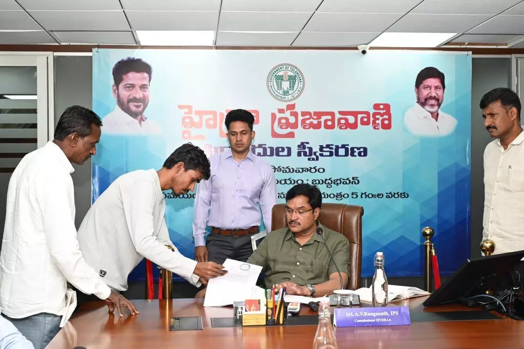
HYDRAA Commissioner AV Ranganath reviewed the complaints using Google Maps to assess ground realities
By Sistla Dakshina Murthy
Hyderabad: How 1,800 sq yd land allocated for park was illegally converted into private plots at Chinna Kranthi Colony
Hyderabad: Public spaces are fast disappearing in Hyderabad, thanks to illegal encroachments.
From blocked roads to parks illegally converted into plots, HYDRAA received 49 such complaints on Monday alone, reflecting the growing menace that is restricting people’s daily lives.
Roads encroached, residents left stranded
In Gajularamaram Siddhi Vinayaka Nagar, Quthbullapur Mandal, Medchal-Malkajgiri district, residents alleged that owners of plots opposite a 30-feet road have encroached upon it, leaving them without proper access. The layout spans seven acres with 102 plots, but blocked roads have caused severe inconvenience to plot owners and residents.
Parks converted into private plots
In Chinna Kranthi Colony, Boduppal Municipality, people complained that about 1,800 square yards of land allocated as a park in survey numbers 114, 118, 120, and 121 have been illegally demarcated into private plots using fake plot numbers. Locals urged authorities to protect the open space meant for community use.
Walls across public roads
In Pothayapalli village under Thumkunta Municipality, Rangareddy district, some locals allegedly built a wall across the public road leading to nearby houses, cutting off access completely. Affected families said they are unable to even step out with vehicles, facing severe hardships.
Even government land is not spared
Residents of Jubilee Gardens Colony in Kondapur, Serilingampally Mandal, raised concerns over encroachments on government land reserved for public amenities.
They pointed out that survey no.30 (14 guntas) and survey no.29 (1 acre 2 guntas) are recorded as government property, but compound walls were demolished and encroachments began despite official records confirming government ownership.
HYDRAA promises action
HYDRAA Commissioner AV Ranganath reviewed the complaints using Google Maps to assess ground realities. He directed concerned officials to take immediate action to resolve the issues and ensure public roads, parks, and amenities remain accessible to citizens.