HYDRAA developing mobile app to help identify encroachments of lakes, other water bodies
On the app, users can report any complaints and give suggestions on encroachment on lakes or other water bodies
By Sistla Dakshina Murthy
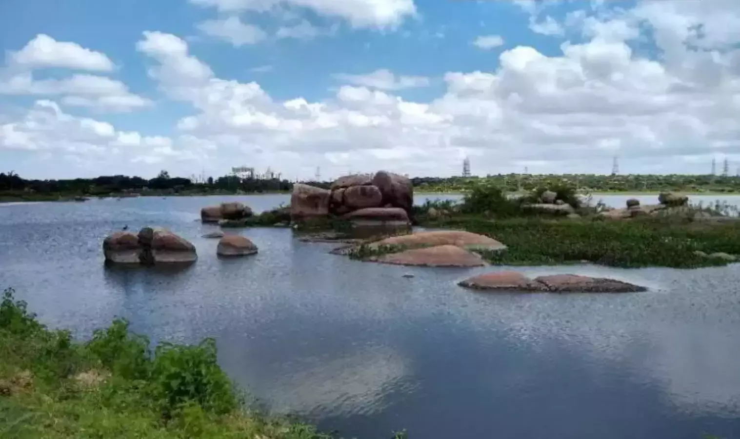
Representational Image
Hyderabad: HYDRAA (Hyderabad Disaster Response and Assets Protection Agency) is gearing up to identify FTL and buffer zones scientifically.
The move comes despite the criticism and accusations over the determination of Full Tank Level (FTL) and buffer zones of lakes in Hyderabad.
HYDRAA is developing a special application that could identify the locations of encroachments. On the app, users can report any complaints and give suggestions on encroachment on lakes or other water bodies.
HYDRAA Commissioner AV Ranganath has directed the officials to start the identification of FTL and buffer zones of the Himayat Sagar reservoir and follow that procedure in other lakes.
He suggested that the FTLs that have already been identified should be revised accordingly, during Lake Protection Committee (LPC) meeting held with the officials from the irrigation and revenue departments, National Remote Sensing Agency (NRSA), Telangana Remote Sensing Applications Centre and Survey of India officials
The commissioner also stated that the HYDRAA aimed to restore and restore encroached lakes to their original state in addition to protecting them. He asked the officials to examine the exact number of lakes that are currently inside the boundaries of the Outer Ring Road (ORR) and the percentage of those lakes that have been encroached upon.
Ranganath asked the officials to compare the data from the irrigation department, SRSAC, and NRSA over 45 years to determine FTLs and the maximum water spread area of lakes. When FTL boundaries are not apparent, he suggested the officials to update them with cadastral maps and scientific procedures, taking into account information from land use surveys, village maps, and lake water expansion over time.
Referring to the debris clearance from demolished sites and restoring the lake’s conditions, Ranganath said that they would roll out the first phase of works at Madhapur’s Sunnam Cheruvu, Gaganpahad’s Appa Cheruvu, Kukatpally’s Nalla Cheruvu and at Bachupally’s Errakunta lakes.
During the meeting, the HYDRAA commissioner also suggested the officials examine the CAG report from 2018 on lake encroachments to eliminate any possibility of error and evaluate the protocols used by other states to safeguard lakes.