HYDRAA, National Remote Sensing Centre team up to digitise land records around ORR for transparency
The collaboration’s objective is to gather, examine and disseminate precise geospatial data about tanks, canals, drains, public parks and government lands
By Sistla Dakshina Murthy
HYDRAA, National Remote Sensing Centre team up to digitise land records around ORR for transparency
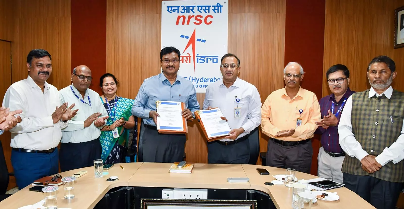
Hyderabad: The Hyderabad Disaster Response and Assets Protection Agency (HYDRAA) signed a Memorandum of Understanding (MoU) with the National Remote Sensing Centre (NRSC) on Friday to digitise and make comprehensive land-related data available in and around the Outer Ring Road (ORR) region.
HYDRAA Commissioner AV Ranganath and NRSC director Dr Prakash Chauhan signed the MoU documents at the NRSC office here. Both the senior officials opined that if the details of the lands intended for government and public use, as well as the boundaries of the lakes, were available, there would be no scope for encroachments.
Aiming for an accurate online repository
Ranganath said that HYDRAA’s goal is to provide accurate information without any misunderstanding regarding the boundaries of the FTL and buffer zones of the lakes. The collaboration’s objective is to gather, examine and disseminate precise geospatial data about tanks, canals, drains, public parks and government lands—all with well-defined borders.
The NRSC satellite images will be very useful in making 100 per cent reliable information available gathered from experts of leading educational institutions, he said.
“HYDRAA is aiming to make comprehensive information available through toposheets, cadastral maps, revenue records and information related to tanks surveyed by the Survey of India in the 1970s, as well as NRSC satellite images,” Ranganath added.
Speaking on the occasion, Dr Prakash Chauhan said that Telangana will be the first State to take such large-scale steps towards the restoration of lakes, protection of government buildings and creation of an eco-friendly city.
“If the environment is protected, Hyderabad will be known as a great city in the country, and it would be possible with HYDRAA’s efforts. The NRSC is ready to provide full cooperation to HYDRAA in this regard,” he said.
#Hyderabad----#HYDRAA has entered an MoU with the National Remote Sensing Center (NRSC) to make land details under #ORR available for all.@Comm_HYDRAA AV Ranganath and NRSC director Prakash Chauhan signed the MoU documents here on Friday.#HYDRAA will receive geo-based… pic.twitter.com/bDlUH851qN
— NewsMeter (@NewsMeter_In) April 11, 2025
Geospatial data support from NRSC
- HYDRAA will receive geospatial data support and technical assistance for disaster management and water resource conservation.
- NRSC will provide technical support to the HYDRAA team for the development of a geospatial database along with the creation of a geospatial database for the Telangana Core Urban Region (TCUR) using remote sensing and GIS technology.
- NRSC is ready to provide all heritage information relevant to disaster management and water resource protection within the scope of TCUR available on the Bhuvan portal as per this agreement.
- In line with the new ‘Geospatial Data Policy – 2023’, guidelines covering all historical Indian remote sensing satellite data available on the Bhunidhi portal covering the TCUR region will be made available.
- High-resolution satellite data, aerial photography, digital elevation models, etc., will be provided to HYDRAA through NRSC.
- HYDRAA receives input from NRSC in the preparation of relevant data from satellite/aerial sources, their integration and information collection related to asset management/monitoring.
- The NRSC will provide free access to the National Database for Emergency Management (NDEM) web portal, which enables the visualisation of integrated aero-space-based disaster data as it exists.
- HYDRAA and NRSC will collaborate to compile and exchange accurate and complete data on tanks, government lands and public parks in the ORR region and 27 municipalities around GHMC, thereby improving transparency and urban planning.