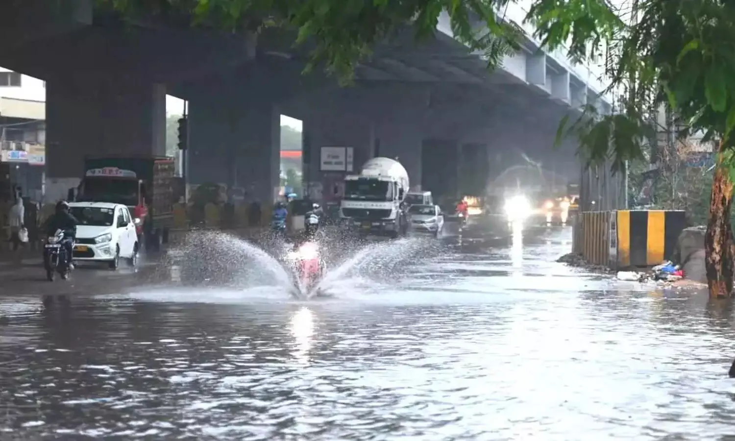
Red Alert for Hyderabad as heavy rains, thunderstorms disrupt life on Monday
Sudden heavy rains bring Hyderabad to standstill; authorities on high alert
By - Newsmeter Network |
Red Alert for Hyderabad as heavy rains, thunderstorms disrupt life on Monday
Hyderabad: Heavy rains accompanied by thunderstorms swept across Hyderabad on Monday evening, bringing normal life to a halt in several parts of the city. The abrupt downpour flooded arterial roads, paralysed traffic during rush hour and exposed persistent drainage challenges in the urban core.
Commuters caught in chaos
The worst-hit areas included Secunderabad, where roads in Paradise, Marredpally, and Tarnaka quickly turned into streams. Traffic came to a standstill as water rose above footpaths, forcing two-wheeler riders and pedestrians to take cover under flyovers and storefronts.
Several commuters reported being stranded for over an hour as vehicles struggled to navigate submerged stretches.
Low-lying areas inundated
The rainfall, described as short but intense, affected multiple neighbourhoods, including Rasulpura, Habsiguda, Dr AS Rao Nagar, Kapra, RP Road, SP Road, ECIL crossroads and Alwal. Many of these localities experienced waterlogging severe enough to enter the ground floors of residential buildings and shops.
Municipal emergency teams and traffic police were deployed to clear major intersections, but the volume of water overwhelmed many stormwater drains, especially in older parts of the city.
Expert issues early warning
Hyderabad-based weather tracker T Balaji, known for his real-time updates on social media under the name Telangana Weatherman, had issued a public warning hours before the rains hit.
“Dear people of Hyderabad. It’s going to be a dangerous thunderstorm for the entire city. I am repeating it again. Please stay indoors. Massive cumulonimbus is developing. 50 mm of rainfall is expected in a very short time. Please stay alert,” he wrote on X (formerly Twitter).
Meteorologists weigh in
Local meteorologists pointed to unstable atmospheric conditions and high moisture content as triggers for the storm.
Meteorologist KS Sridhar, speaking to NewsMeter, said, “This was a classic convective thunderstorm, rapid vertical cloud growth combined with trapped surface heat and moisture from the last few dry days. When the clouds matured, it resulted in high-intensity rainfall over a concentrated window.”
“These sudden bursts of 40 to 60 mm of rain in less than an hour are part of a larger trend. Climate variability is making monsoons less predictable and more extreme in urban pockets like Hyderabad,” he added.
Red alert for Hyderabad
As the storm intensified, the Hyderabad Revenue and Disaster Management Authority (HYDRAA) upgraded the alert status in the afternoon.
“The alert has been upgraded, Heavy thunderstorm warning for the entire GHMC during 3:30–5:30 pm. 50–60 mm rainfall expected in a few parts. Very heavy rain and Teams are trying to clear the waterlogged areas. Since the rain is extremely heavy, it will take some time for water to drain out. Request commuters to postpone their travel for some time,” said HYDRAA Commissioner AV Ranganath.
Cumulative rainfall was expected to touch 100 mm in a few localities by 6 pm, further stretching emergency response efforts.
Drainage infrastructure under scrutiny
The storm renewed questions around Hyderabad’s drainage capacity, especially after pre-monsoon cleaning drives by the Greater Hyderabad Municipal Corporation (GHMC). Despite these efforts, several main roads flooded within minutes.
Forecast for the week
According to the India Meteorological Department’s Hyderabad division, more thunderstorms are likely over the next 48 hours, particularly in the eastern and northeastern corridors of the city. Cloud formations over the Deccan plateau remain active, with intermittent wind shifts expected to trigger similar storms.
Citizens are advised to avoid unnecessary travel, especially during the early evening hours, and to stay updated through official channels.
Emergency services active
GHMC and Disaster Response Force (DRF) teams are on standby across key flood-prone areas. Residents have been asked to report flooding, tree falls, or damaged infrastructure via the GHMC helpline (040-21111111) or the MyGHMC app.