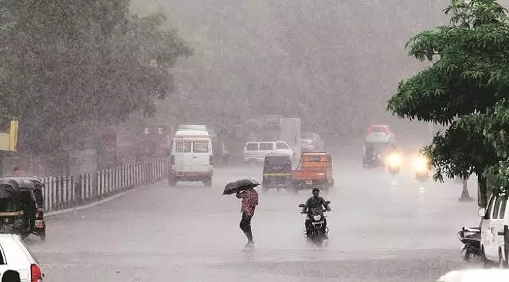
Heavy rains likely to hit Andhra districts till 5 May
Under the cyclonic influence, heavy rainfall is likely to be seen at isolated places over NCAP, Yanam, SCAP, and Rayalaseema
By - Newsmeter Network |
Amaravati: Heavy rainfall is likely at isolated places over north coastal Andhra Pradesh, south coastal AP, Yanam, and Rayalaseema for the next three days.
According to the India Meteorological Department, Amaravati, many places in the state will witness thunderstorms accompanied by lightning and gusty winds with a speed of 40–50 kmph for the next three days.
According to the IMD, a trough/wind discontinuity from west Vidarbha to south interior Karnataka now runs from southwest Madhya Pradesh to south Tamil Nadu across Marathwada and interior Karnataka at 0.9 km above mean sea level.
A cyclonic circulation lies over south Chhattisgarh and neighbourhood up to 0.9 km above mean sea level. A cyclonic circulation lies over south interior Karnataka and adjoining Tamil Nadu between 1.5 km and 3.1 km above mean sea level.
A trough runs from the above cyclonic circulation over south interior Karnataka and adjoining Tamil Nadu to southwest Bay of Bengal off north Sri Lanka coast between 1.5 km and 3.1 km above mean sea level. Lower tropospheric south easterly/southerly winds prevail over Andhra Pradesh and Yanam, the IMD said.
Under the cyclonic influence, heavy rainfall is likely to be seen at isolated places over NCAP, Yanam, SCAP, and Rayalaseema till 5 May.
Meanwhile, Vijayawada, NTR district, Eluru, Anakapalli, Chittoor, Konaseema, Narsipatnam, Visakhapatnam, Kakinada, Tirupati, and Anamayya witnessed unseasonal rains on Tuesday.
According to the Andhra Pradesh Weatherman, on Wednesday, an MJO progression will happen along the Bay of Bengal, and the rains over Tamil Nadu will shift to coastal Andhra Pradesh.
UNSEASONAL RAINS DAY - 3—Today we can see less rainfall activity in #AndhraPradesh as the wind confluence is over Tamil Nadu and South Andhra. During afternoon to Evening time #Guntur, Krishna, #Konaseema, Ubhaya Godavari, #Eluru and NTR districts can see some rains. Some parts… pic.twitter.com/AbaNfM7dcO
— Andhra Pradesh Weatherman (@APWeatherman96) May 2, 2023