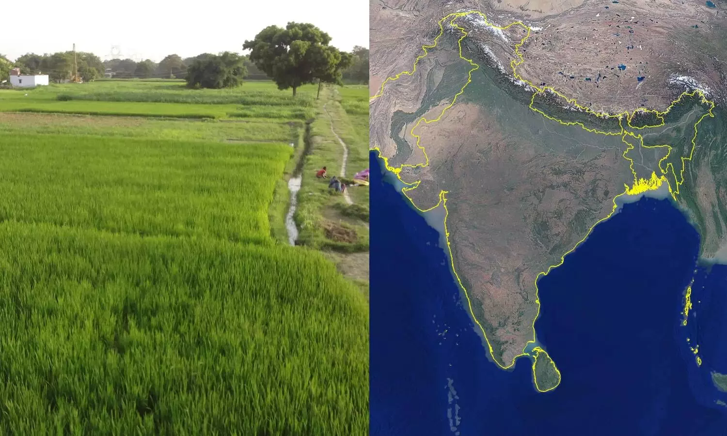
'Cropland mapping for Agri insurance claims': ICRISAT, ADB develop high-resolution spatial maps
ICRISAT scientists in collaboration with Asian Development Bank (ADB) have developed high-resolution spatial maps that enable cropland mapping for insurance claims and agriculture policy decision-making.
By Newsmeter Network
Hyderabad: ICRISAT scientists in collaboration with Asian Development Bank (ADB) have developed high-resolution spatial maps that enable cropland mapping for insurance claims and agriculture policy decision-making.
"Agricultural insurance is becoming one of the fastest-growing markets globally. For farmers to cope with crop loss, stabilizing farm incomes through insurance payoffs can help reduce poverty. Spatial mapping is a quicker and more efficient tool for guiding agriculture policymakers to minimize climate risks," said Dr. Arvind Kumar, Deputy Director General-Research at ICRISAT.
Physical ground surveys are a laborious process and often require an army of surveyors to validate the effects of floods and drought. ICRISAT scientists in collaboration with the ADB developed spatial maps for South Asia to assess croplands, crop type, and crop intensity data. South Asia accounts for 1.9 billion people, constituting almost 25% of the world's population, 87% of which are smallholder farmers.
Insurance companies and government agencies require high-quality satellite imagery to monitor and map floods and droughts and other climatic conditions to make the claims process more accurate and efficient.
"Spatial maps can also be used as potential tools to target regenerative agriculture. Crop type mapping can also better guide where and in what systems regenerative agriculture can be deployed," said Dr. ML Jat, Research Program Director, Resilient Farm and Food Systems, ICRISAT.
ICRISAT scientists have produced three distinct spatial maps for South Asia with a spatial resolution of 30 m, which is much higher to get finer details of cropland for food and water security assessments. Currently, these factors are evaluated using mainly coarse-resolution (250–1000 m) remote sensing data.
"The high spatial resolution data would enable cropland assessment, modeling, mapping, and monitoring for South Asia, which is home to nearly two billion people and 230 million hectares of net cropland area. Subsequently, the data would help generate various development models for accurate monitoring and decision-making for the entire region," said Murali Krishna Gumma, Principal Scientist and Cluster Leader – Geospatial Sciences and Big Data at ICRISAT.
The team developed three spatial maps for South Asia for the year 2014-15 to support food and water security assessments and management. The three distinct spatial maps would assess irrigated versus rainfed croplands, crop types or crop dominance, and cropping intensity.