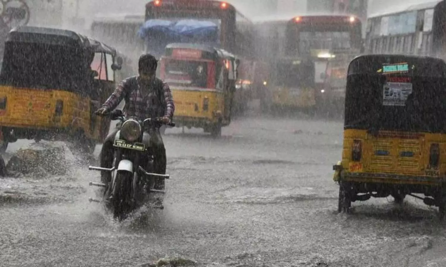
Hyderabad: The Indian Meteorological Department (IMD) on Friday predicted heavy to very heavy rainfall in Telangana. Issuing an orange alert for the next 48 hours, the IMD said very heavy rainfall (115.6 mm-204.4 mm) will lash Nalgonda, Yadadri Bhuvangiri, Rangareddy, Medchal Malkajgiri, Vikarabad, Sangareddy, and Medak districts.
Heavy rainfall (64.5 mm-115.5 mm) is very likely to occur at isolated places in Nirmal, Nizamabad, Jagityal, Rajanna Sirsilla, Karimnagar, Peddapalli, Jayashankar Bhupalpally, Mulugu, Suryapet, Mahabubabad, Warangal (Rural), Warangal (Urban), Janagaon, Siddipet, Hyderabad, Kamareddy, Mahabubnagar, Nagarkurnool, Wanaparthy, Narayanpet, and Jogulamba Gadwal districts of Telangana. Thunderstorms accompanied with lightning are very likely to occur at isolated places in all the districts, the IMD said.
Meanwhile, Hyderabad will see a generally cloudy sky with moderate to heavy rain or thundershowers. The IMD also warned that there will be flooding and waterlogging in a few low-lying areas in the state. It said there can be disruption in rail and road services and electricity. Besides, the drainage network might get clogged and agricultural land may be submerged. There are also apprehensions about crop damage and overflowing of reservoirs and lakes, it added.
According to the IMD, the cyclonic circulation over west-central and adjoining southwest Bay of Bengal off south Andhra Pradesh-north Tamil Nadu coasts now lies over coastal Andhra Pradesh and neighbourhood between 1.5 km and 4.5 km above mean sea level tilting southwards with height.
"A cyclonic circulation lies over east-central Bay of Bengal between 4.5 km and 5.8 km above mean sea level. A low-pressure area is likely to form over north and adjoining central Bay of Bengal around 6 September," read the IMD inference on Friday.
