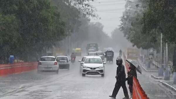
Rains, Storms: Another wet spell to hit eastern part of country
Major pre-monsoon cyclones of the previous several years have affected the start of the southwest monsoon over India, either by delaying the winds or facilitating their quick spread
By - Newsmeter Network |
Hyderabad: Most of the country witnessed unseasonal rainfall during the latter week of April. However, the rainy weather gradually subsided during the first week of May.
A new system that is presently forming in the Bay of Bengal might, however, change the weather system again in the eastern part of the country next week.
Around Saturday, a cyclonic circulation is predicted to form over the Southeast Bay of Bengal, according to the India Meteorological Department (IMD). It is anticipated that under its influence, a low-pressure system will develop over the same area during the next 48 hours and will intensify into a depression by May 8.
Cyclonic Storm likely over Bay of Bengal. pic.twitter.com/HySv6WXRPd
— India Meteorological Department (@Indiametdept) May 3, 2023
Models suggest that the depression would likely grow into a cyclone, according to M. Mohapatra, director-general of the IMD.
"However, we are unable to predict with certainty the monsoon's trajectory, where it will arrive, or how it will move. In the upcoming days, this will become apparent” he added.
According to the most recent IMD assessment, there is a significant chance that the system will continue to strengthen into a cyclonic storm while heading northward into the Central Bay of Bengal. It will be known as Cyclone Mocha if it does intensify into a cyclone.
Furthermore, according to IMD, the most recent sea temperatures in the Bay of Bengal are at or above 30°C, which creates ideal conditions for cyclogenesis—the formation and intensification of low-pressure systems.
Citing the Global Forecast System (GFS) model, IMD said the system would continue to develop and travel north towards East-Northeast India or Bangladesh, perhaps making landfall by May 14.
Even though the Indian Ocean has a year-round potential for cyclone formation, the peak cyclone season in the North Indian Ocean (which includes the Bay of Bengal and the Arabian Sea) lasts from April to December.
The first part of this peak occurs between April and June, during the pre-monsoon cyclone season when warm ocean waters and a suitable atmosphere combine to create an environment ideal for the creation and strengthening of cyclones.
Major pre-monsoon cyclones of the previous several years have affected the start of the southwest monsoon over India, either by delaying the winds or facilitating their quick spread.
According to IMD, a new rainy period is expected to start in northwest India on Saturday. This week's maximum temperatures are probably going to be below or close to normal. In India, no heat wave conditions are predicted during the course of the next five days.