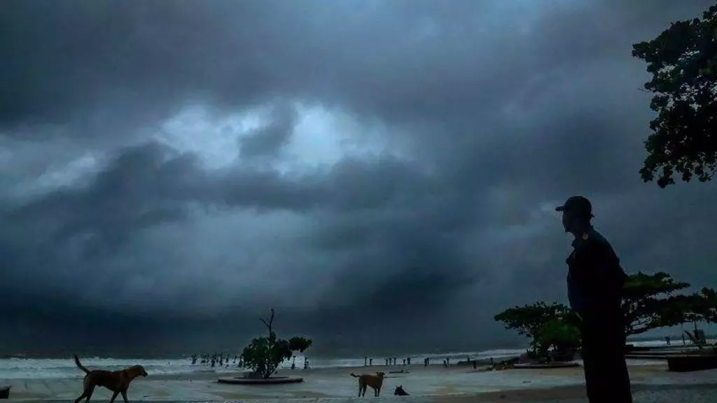
'Yeh Mausam Ki Baarish…': SW monsoon hits Andhra, Rayalaseema; IMD forecasts below normal rains
IMD scientists say, many parts of Andhra to receive below-normal rains in the last week of June.
By - Sri Lakshmi Muttevi |
Vijayawada: Southwest monsoon has hit some parts of Andhra Pradesh and Rayalaseema even as heatwave conditions persist in the state.
On June 8, India Meteorological Department (IMD) officially declared the onset of monsoon in Kerala. The monsoon was delayed by a week. Later it hit Tamil Nadu, Karnataka, and South Andhra Pradesh.
While the monsoon entered Sri Sathya Sai and Tirupati districts on Monday, it is likely to hit Anantapur and Nellore districts on Tuesday. By June 18, monsoon will enter North Andhra and South Odisha. In this way, it may take another week to spread across the state.
IMD predicts below-normal rainfall in Andhra
According to the IMD-Amaravati region, Andhra Pradesh has recorded below-normal rainfall seven times in the past nine years (from 2014 to 2022) from June to September.
"This year, it is expected that Andhra Pradesh state will receive below-normal rainfall in 2023, in many parts. Parts of the state will witness rainfall activity in the last week of June," said IMD-Amaravati chief S Stella.
-Rainfall between 96 and 104 % of a 50-year average of 87 cm is considered 'normal'.
-Rainfall less than 90 % of the long-period average is considered 'deficient'.
-Between 90-95 % is 'below normal'.
-Between 105-110 % is 'above normal'.
-More than 100 %is 'excess' precipitation.
In 2022, the monsoon arrived in Andhra Pradesh on June 13, and it covered the entire Andhra Pradesh on June 20. The state recorded 575.6 mm rainfall in 2022, which is 10% more than the normal 514 mm.
Forecast for the second stage forecasts for the 2023 southwest monsoon suggests that quantitatively, the seasonal rainfall is likely to be 96% of the Long Period Average (LPA) with a model error of ± 4%. The LPA of the season rainfall over the country as a whole for the period 1971-2020 is 87 cm. The seasonal rainfall is most likely to be normal (96 to 104% of LPA).
El Nino effect in second half:
According to the IMD, India is expected to get normal rainfall during the southwest monsoon season despite the evolving El Nino conditions.
Northwest India is expected to see normal to below-normal rainfall. East and northeast, central, and south peninsula are expected to receive normal rainfall at 94-106 percent of the long-period average of 87 centimeters.
Studies indicate a stronger inverse relationship between El Nino and rainfall during the second half of the monsoon season.
El Nino, which is the warming of waters in the Pacific Ocean near South America, is generally associated with the weakening of monsoon winds and dry weather in India. The El Nino conditions this year follow three consecutive La Nina years. La Nina, which is the opposite of El Nino, typically brings good rainfall during the monsoon season.
Not all El Nino years are bad monsoon years as over 40% of the El Nino years in the past received normal to above normal monsoon rainfall.
Heatwave to continue
According to IMD-Amaravati, heat wave conditions are likely to continue over parts of Coastal Andhra during the next four days, while the Rayalaseema region will experience hot, humid, and uncomfortable weather conditions.
On Monday, Bapatla registered the highest temperature of 43 degree Celsius, followed by Ongole (42.5°C), Kavali (42.5°C), Jangamaheswara Puram in Palnadu district 42.4°C, Machilipatnam 42°C, Nellore 41.8°C, Tirupati 41.8°C, Nandigama 41.7°C, Kakinada 41.6°C, Gannavaram 41.4°C and Amaravati 41.3°C.