HYDRAA to use satellite imagery to conserve govt lands, determine lake FTLs
NRSC satellite images to be used by HYDRAA to collect accurate information on encroachment of lakes, government lands, parks, roads and canals
By Sistla Dakshina Murthy
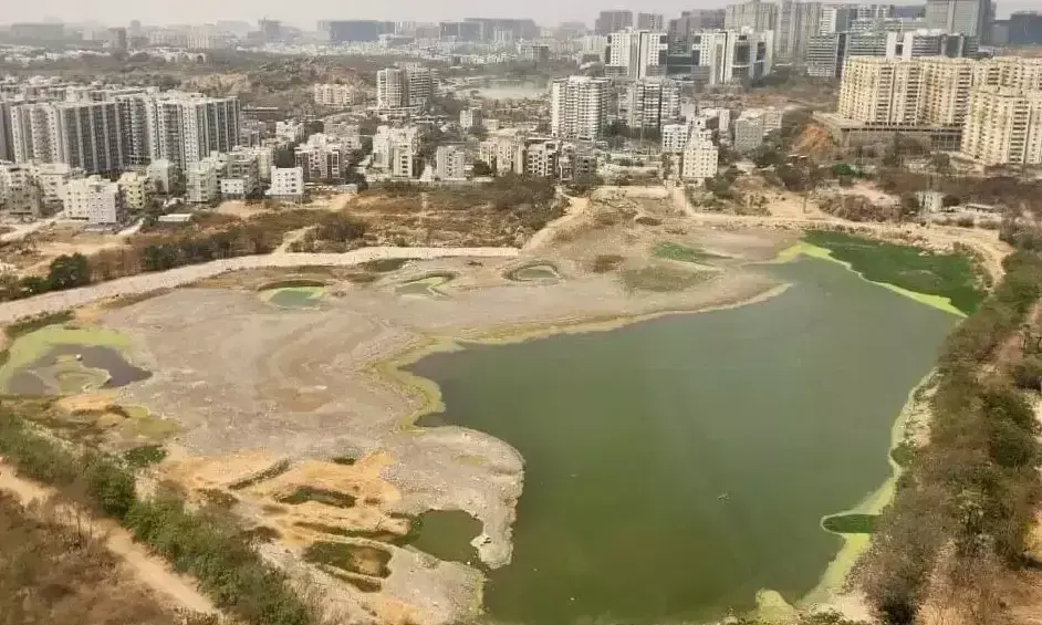
Representational Image
Hyderabad: HYDRAA Commissioner AV Ranganath said that NRSC (National Remote Sensing Centre) satellite images would play a major role in the conservation of government lands along with FTL determination of lakes.
Ranganath visited the NRSC office at Balanagar on Tuesday. He convened a meeting with NRSC Director Prakash Chauhan and Deputy Director Srinivas and reviewed the decades-old satellite images.
HYDRAA Commissioner invites NSRC director to lake protection panel
The HYDRAA Commissioner also called upon the NSRC director to be part of the Lake Protection Committee. In return, Prakash Chauhan also expressed his interest in being part of the Committee.
Speaking on the occasion, the HYDRAA Commissioner said that apart from identifying lakes, parks and government places, these images are also very useful for identifying low-lying areas and flood-prone areas.
#Hyderabad--@Comm_HYDRAA AV Ranganath has said that #NRSC satellite images would play a major role in the conservation of government sites along with FTL determination of lakes.Ranganath visited the NRSC (National Remote Sensing Center) office at #Balanagar on Tuesday.The… pic.twitter.com/YV7UyJ8H37
— NewsMeter (@NewsMeter_In) December 24, 2024
Satellite images to help with data on floods
“During floods, the areas submerged in water, the height of the flood canals, and the full level of water holding capacity of the lakes are assessed from all angles. HYDRAA, which has already collected information from Survey of India (SoI), Survey of Telangana and rural maps, will get clearer information through high-resolution satellite images at NRSC,” Ranganath said.
Elaborating further, he said the NRSC satellite images will be used by HYDRAA to collect accurate information on encroachment of lakes, government lands, parks, roads and canals. “We will identify FTL and buffer zones of lakes through satellite imagery based on recorded high rainfall data from 1973 to 2024,” the HYDRAA Commissioner said.
Ranganath reviews lake protection measures in ORR limits
HYDRAA chief Ranganath also reviewed the protection of ponds in the ORR area at his office here on Tuesday.
Ranganath discussed the issues related to the conservation of lakes with the officials of the engineering department of HYDRAA, Irrigation, Revenue, GHMC and HMDA departments of Hyderabad, Rangareddy, Medchal-Malkajigiri and Medak districts.
The HYDRAA Commissioner suggested that a specific procedure should be followed regarding the points to be followed regarding the full tank level and buffer zones of the lakes. He said that coordination between the departments involved in the protection of lakes is very crucial.
He also suggested that precautions should be taken in determining FTL without anyone questioning whether to go with specific procedures regarding protection. During the course of the meeting, the Lake Protection Coordination Committee discussed the lakes and the canals connecting them.
“We are also taking satellite images of ponds and canals from NRSC (National Remote Sensing Centre). Officials should also examine the Survey of India, Survey of Telangana and rural maps and take action without giving rise to any doubts,” Ranganath said.