You Searched For "NRSC"
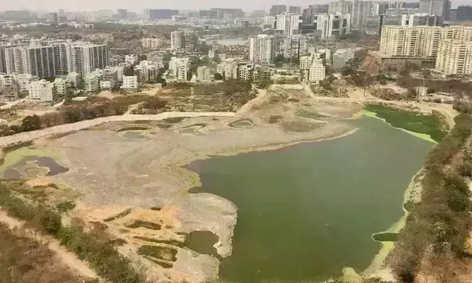
HYDRAA to use satellite imagery to conserve govt lands, determine lake FTLs
NRSC satellite images to be used by HYDRAA to collect accurate information on encroachment of lakes, government lands, parks, roads and canals
By Sistla Dakshina Murthy Published on 24 Dec 2024 6:03 PM IST
